EMBARK ON THE ULTIMATE KILIMANJARO JOURNEY
Experienced trekkers and first-timers alike consistently choose the Northern Circuit over shorter, less immersive alternatives. Here are the five reasons why this is the best path for your Kilimanjaro journey:

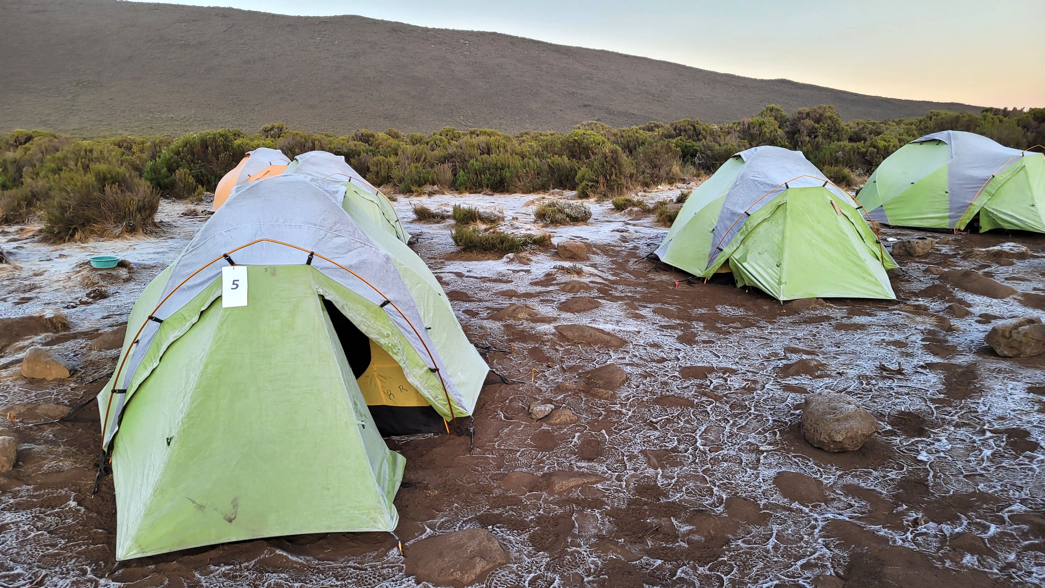
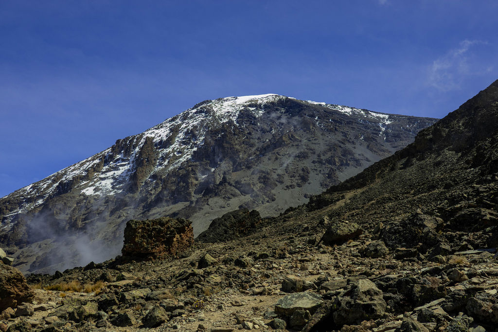
The 9-day itinerary maximizes acclimatization, allowing multiple chances to climb high and sleep low—especially on Day 4 at Lava Tower (4,600m) before descending to Moir Hut (4,000m). This approach yields a 95–98% summit success rate, the highest of any route.

Most Kilimanjaro routes follow a single side of the mountain from base to summit. The Northern Circuit stands out. You circle the massif, traveling through southern rainforest, cross Shira Plateau, and enter the stark alpine desert of the northern. Then you cross the eastern saddle between Kibo and Mawenzi.

The Northern Circuit’s high success rate stems from ample acclimatization, not technical difficulty. Fit, motivated trekkers need only good fitness, mental resilience, and the right guide—qualities KiliDestination ensures.

Days 5–7 follow Kilimanjaro’s northern slopes on trails far less traveled than Machame or Marangu. For solitude and adventure, the Northern Circuit surpasses all other routes.

On Day 5, Buffalo Camp and Buffalo Ridge offer views of plains stretching toward Kenya. On clear mornings, this dramatic scene highlights your progress and the summit’s height.
The following itinerary showcases KiliDestination’s expertly crafted 9-day Northern Circuit, starting in Arusha and concluding in triumph at Mweka Gate. Take the first step towards the ultimate trekking experience.
Day
Camp-to-camp
Elevation
Distance
Highlight
Arrival Day
Airport → Arusha Hotel
—
—
Gear check & mountain briefing with your guide
Day 1
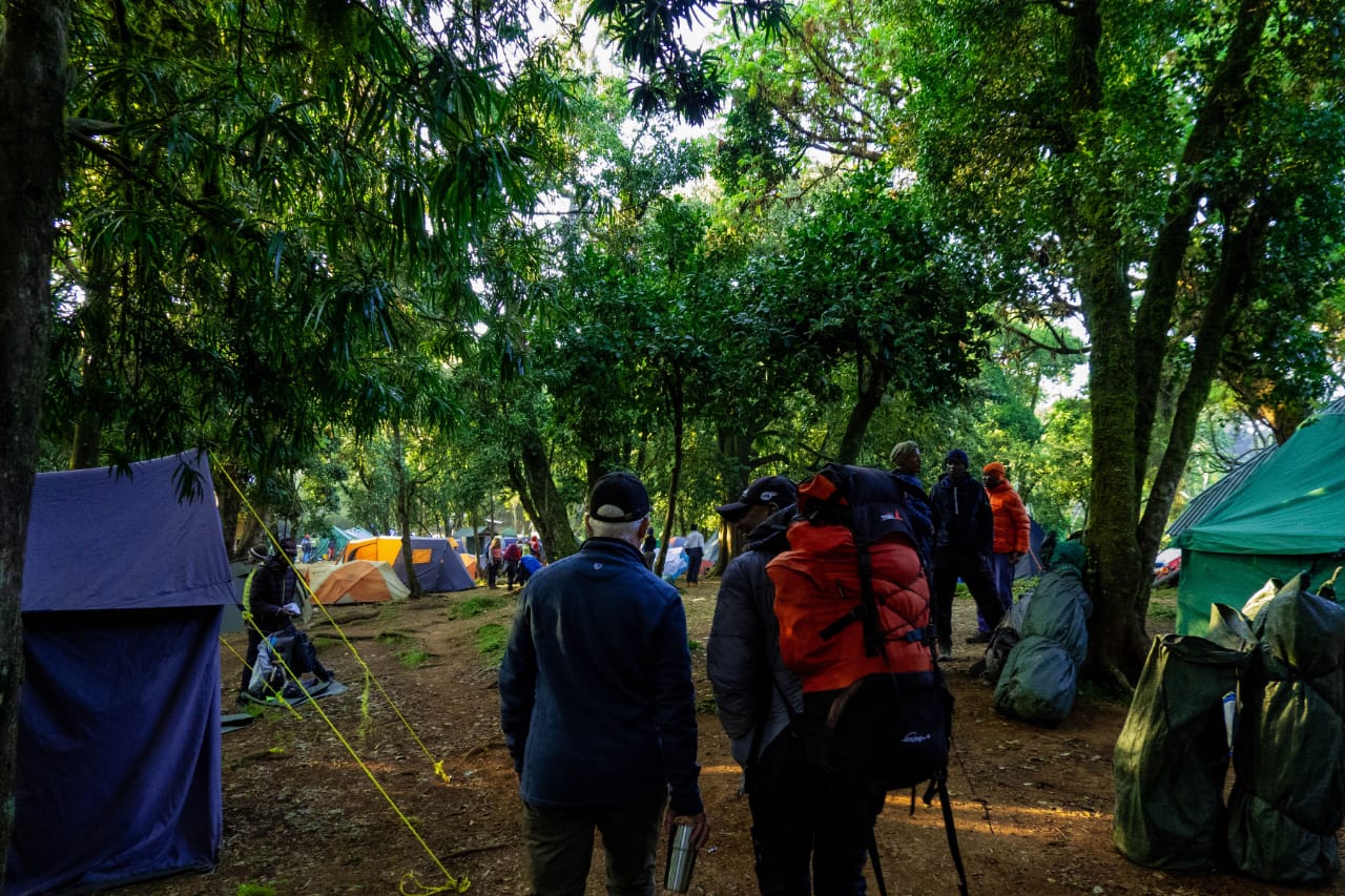
Lemosho Gate → Forest Camp (Mti Mkubwa)
1,700m → 2,850m
7 km
Hike through pristine rainforest to first camp
Day 2
Mti Mkubwa → Shira 1 Camp
2,850m → 3,600m
8 km
Emerge from forest into open moorland; first views of Kibo
Day 3
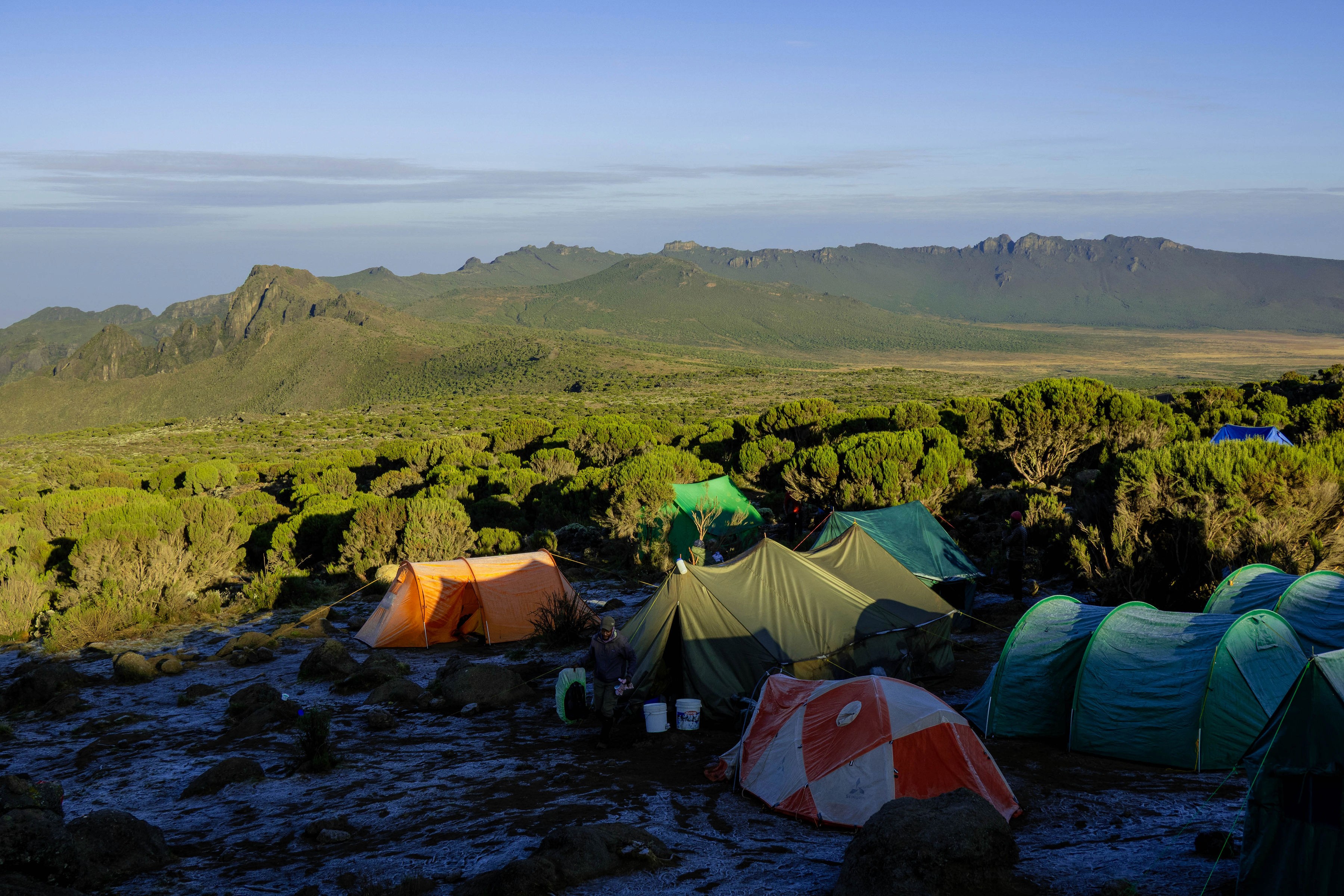
Shira 1 → Shira 2 Camp
3,600m → 3,850m
6 km
Explore the Shira Plateau; wildflowers and giant Senecio trees
Day 4
Shira 2 → Lava Tower → Moir Hut
3,850m → 4,600m → 4,000m
9 km
Best acclimatisation day — climb high, sleep low
Day 5
Moir Hut → Buffalo Camp
4,000m → 4,300m
15 km
Remote northern slopes; panoramic views to Kenya border
Day 6
Buffalo Camp → Third Cave Camp
4,300m → 4,400m
7 km
Rarely-travelled trails; mountain wilderness atmosphere
Day 7
Third Cave → School Hut Camp
4,400m → 4,800m
5 km
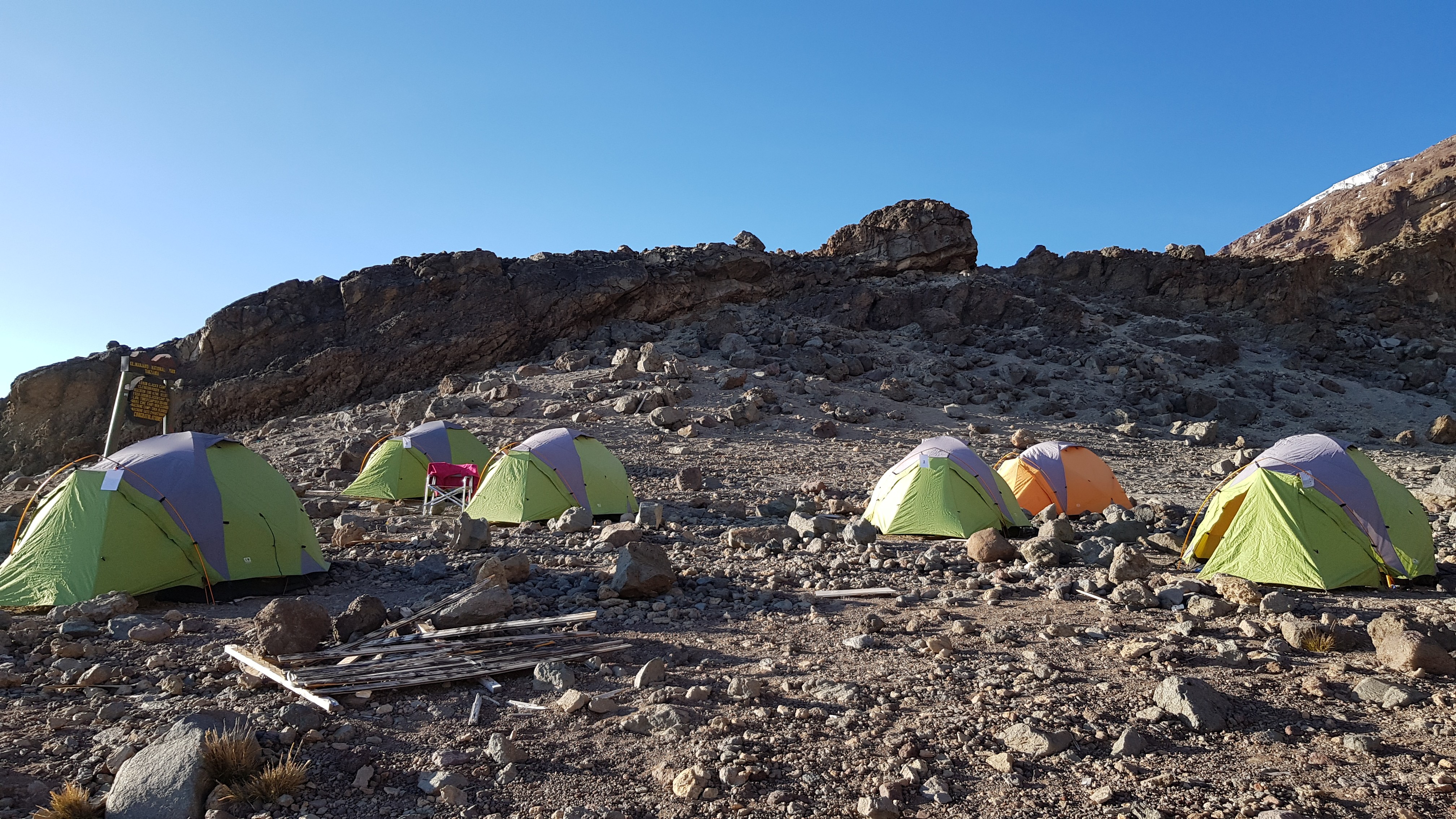
Cross the Saddle between Kibo and Mawenzi; rest for summit
Day 8
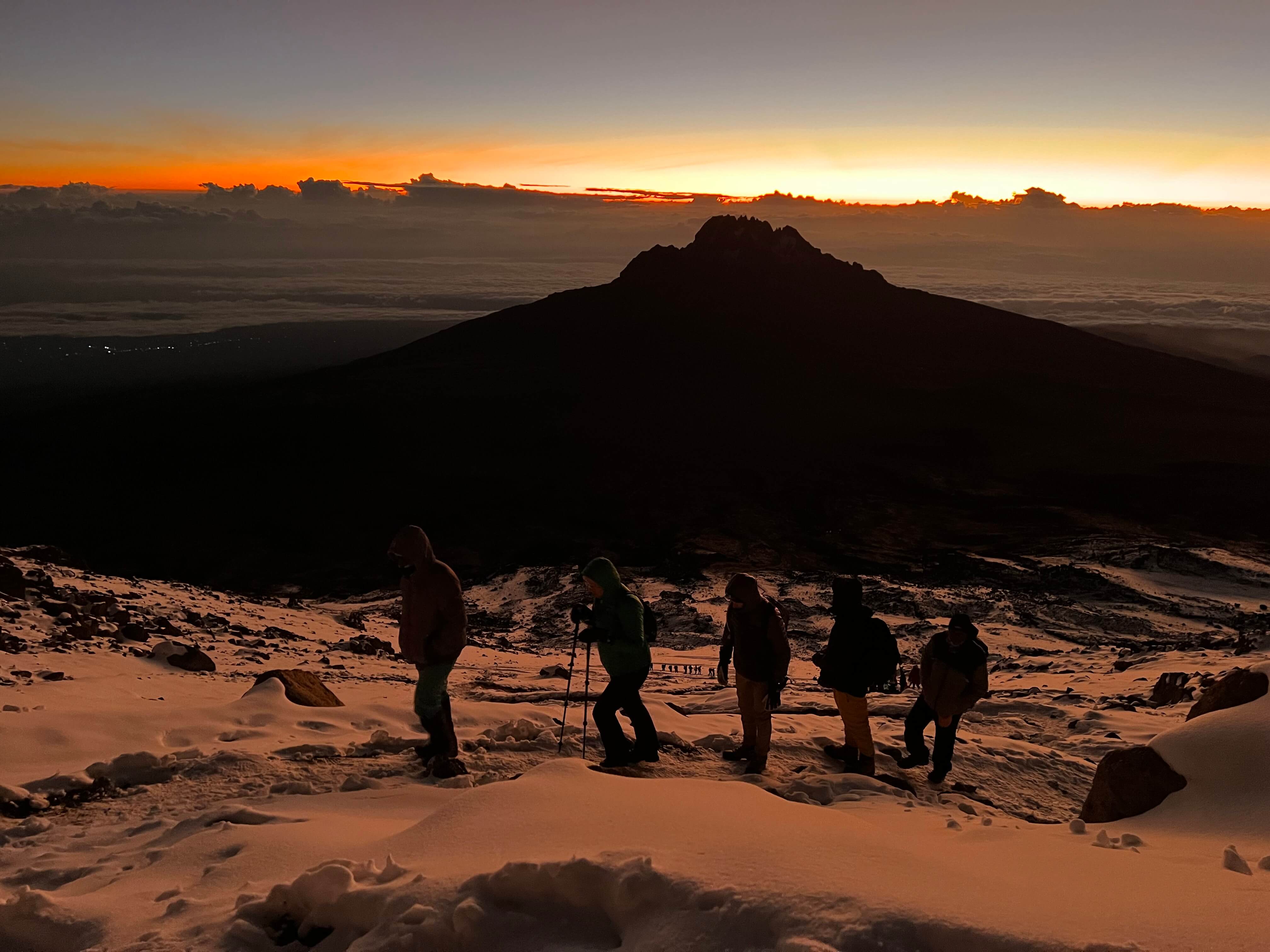
School Hut → Uhuru Peak → High Camp
4,800m → 5,895m → 4,000m
12 km
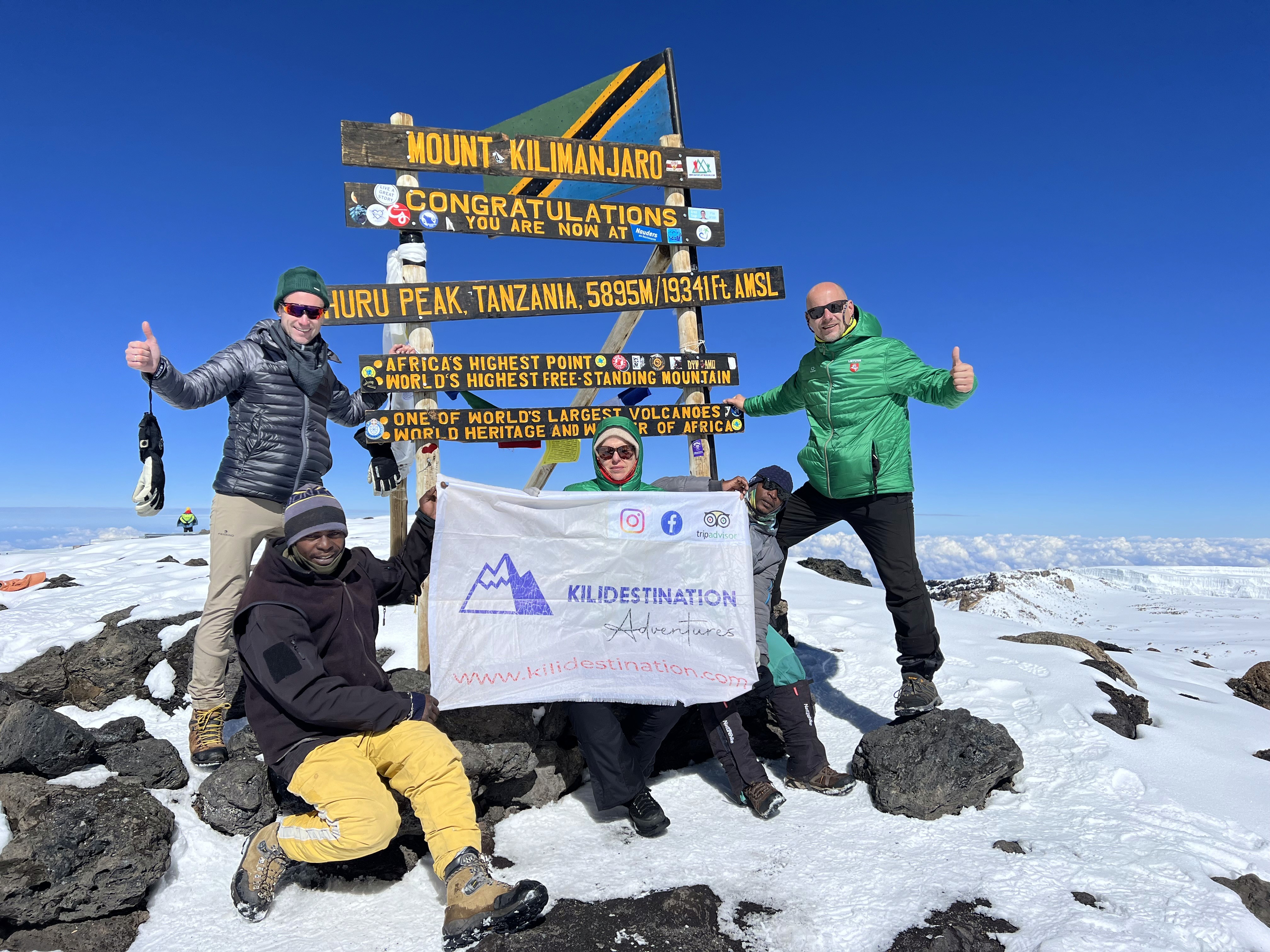
Summit day — Gilman's Point sunrise; Africa's highest point
Day 9
High Camp → Mweka Gate → Arusha
4,000m → 1,800m
16 km
Final descent; collect certificates; transfer to Arusha hotel
Arrival Day in Arusha: Gear Check & Briefing
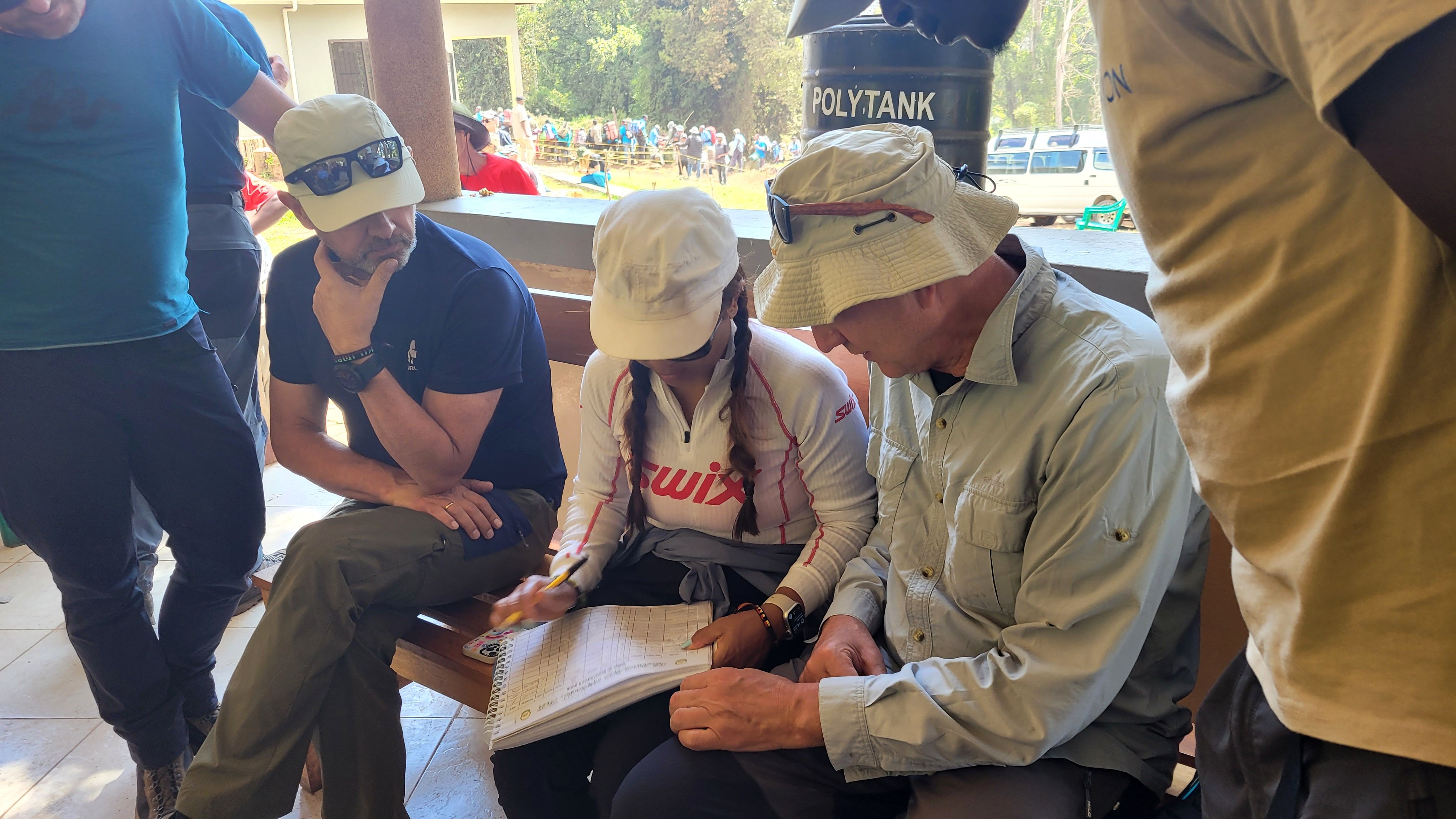
Your driver and guide meet you at the airport and transfer you to your Arusha hotel for a gear check and briefing. This is the time for questions, equipment review, and discussing the trek ahead. Stay overnight at the hotel.
Elevation: 1,700m → 2,850m | Distance: 7 km | Vegetation: Rainforest
Elevation: 2,850m → 3,600m | Distance: 8 km | Vegetation: Forest to Moorland

Elevation: 3,600m → 3,850m | Distance: 6 km | Vegetation: Moorland
Elevation: 3,850m → 4,600m → 4,000m | Distance: 9 km | Vegetation: Moorland to Alpine Desert
Elevation: 4,000m → 4,300m | Distance: 15 km | Hiking Time: 7–8 hours
Elevation: 4,300m → 4,400m | Distance: 7 km | Hiking Time: ~4 hours
Elevation: 4,400m → 4,800m | Distance: 5 km | Hiking Time: ~4 hours
Elevation: 4,800m → 5,895m → 4,000m | Distance: 12 km | Hiking Time: 7–8 hours
Elevation: 4,000m → 1,800m | Distance: 16 km | Hiking Time: 5–6 hours
How does the Northern Circuit compare to Kilimanjaro's other main routes? The table below uses plain, comparable data to help you decide which route fits your schedule and goals.
Route
Days
Distance
Success Rates
Crowds
Best For
Northern Circuit
9 days
~88 km
95–98%
Low
Max acclimatisation, solitude
Lemosho
7–8 days
~70 km
90–95%
Medium
Scenic route, good acclimatisation
Machame
6–7 days
~62 km
85–90%
High
Popular, challenging
Rongai
6–7 days
~65 km
80–90%
Low–Med
Northern approach, drier
Marangu
5–6 days
~64 km
65–80%
High
Budget, hut accommodation
Note: Success rates are general industry estimates. Actual rates can vary depending on the operator, itinerary length, and how well each trekker prepares.
Included
Airport pickup and return transfer (Arusha or KIA)
Hotel accommodation in Arusha (pre- and post-trek)
All meals on the mountain (breakfast, lunch, hot dinner)
Kilimanjaro National Park entry fees and camping fees
Experienced KINAPA-certified lead guide and assistant guide(s)
Trained porters (porter-to-climber ratio maintained for safety)
Mountain cook
All camping equipment (tents, sleeping mats, dining tent, mess tent)
Rescue stretcher and emergency oxygen on expedition
Daily health monitoring with pulse oximeter readings
Summit certificates
Not Included
International flights to Tanzania
Tanzania tourist visa (currently USD 50 on arrival for most nationalities)
Personal trekking gear and clothing
Travel insurance (mandatory and must include emergency evacuation cover)
Gratuities for guides and porters (customary and greatly appreciated)
Optional equipment hire in Arusha
- Mountaineering boots (waterproof, broken in before the trek)
Layering system: moisture-wicking base layers, insulating mid-layers, waterproof shell
- Down jacket or equivalent (minimum –10°C rated) for summit night
- Warm gloves and liner gloves
- Balaclava and a warm hat
- Trekking poles (strongly recommended, especially for descent)
- Headlamp with spare batteries (essential for the midnight summit climb)
- Daypack 25–35L and duffel bag 70–90L (for porters to carry)
- Sleeping bag rated to –10°C or below
- Sun protection: high-SPF sunscreen, UV-blocking sunglasses, sun hat
- Water bottles or hydration bladder (minimum 3L capacity)
- January – February (short dry season): Excellent conditions, clear skies, and manageable temperatures. Popular with climbers wanting to avoid year-end peak crowds.
- June – October (main dry season): The most popular and generally most stable window. Summit visibility is highest. Book well in advance for July–August.
- March – May (long rains): The wettest period. Trails are muddier, and cloud cover reduces summit views. Not recommended for the Northern Circuit unless you are experienced with wet mountain conditions.
- November (short rains): Variable. Some operators suspend Northern Circuit operations during heavy November rainfall.
- December: Transitional period, with conditions improving as the month goes on. It's a good option if you have some flexibility.
What is the Northern Circuit Route on Kilimanjaro?
How difficult is the Northern Circuit Route?
When is the best time to climb Kilimanjaro via the Northern Circuit?
The best times to climb Kilimanjaro on the Northern Circuit are during the two dry seasons: January to February and June to October. These months have the clearest skies, most stable weather, and best summit visibility. The short rains (November) and long rains (March to May) make trails wetter and cloud cover thicker, though you can climb year-round with the right gear and an experienced guide.
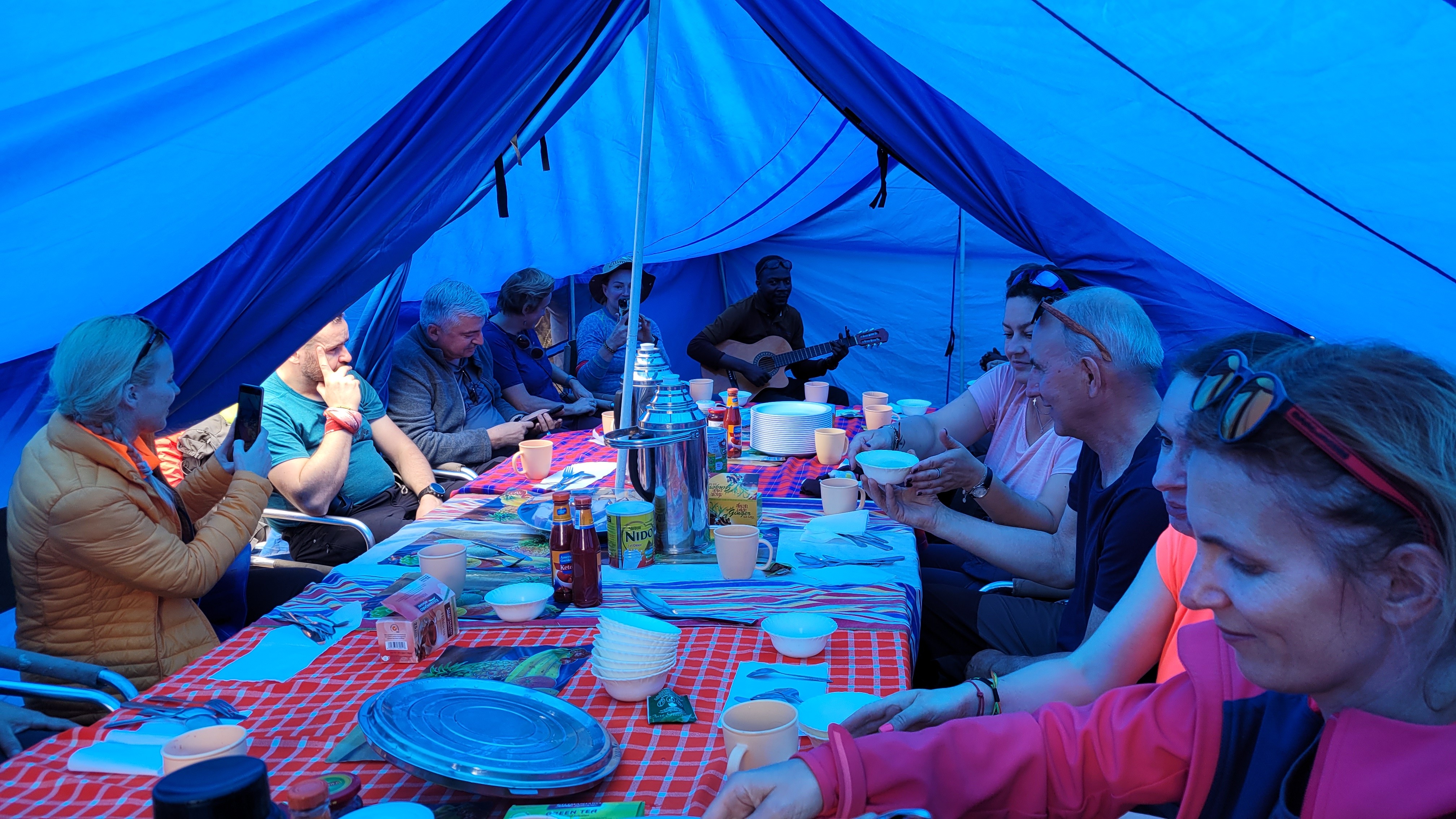
The Northern Circuit Route is a life-changing achievement and one of the most rewarding trekking experiences in the world. At KiliDestination, we have guided climbers from around the world to Uhuru Peak since 2014. As a locally owned, non-profit operator based in Arusha, we reinvest in our mountain crew, our community, and the long-term sustainability of trekking on Kilimanjaro.
If you are looking for Tanzania vacation packages that combine a Northern Circuit trek with a Serengeti or Ngorongoro safari, we offer fully customized packages tailored to your schedule and budget.
